Your platform for geospatial data & analysis
Matico is a platform for communicating geospatial data insights. Built free, working to serve community, reseach, and civic needs.
Matico Kit
Use a flexible set of components to visualize and communicate insights from geospatial analysis through the Editor interface or by a JSON or YAML specification.
Matico Server
Connect, serve, manage, and extract geospatial data to and from flexible sources. Allow your community to share, analyze, and edit data.
Matico Platform
Explore a range of tools to make managing and handling geospatial data easier, all available freely and open source.
Forever Free and Open Source
Matico is a geospatial data platform that is truly yours. From the database management to map visualization, Matico is built to be accessible, flexible, and approachable. Matico Kit is designed for flexible editing and publication on a variety of web platforms at low cost.
Matico Server encourages a Federated infrastructure, allowing for a community of users to start up and own their own instance.
MIT Licensed
You can use this code however you want, just don't sue us.
Prototype in seconds.
Deploy in minutes.
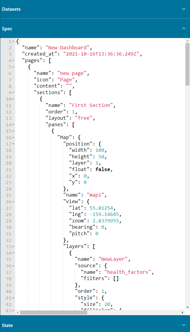
Matico Editor is an extensible, interactive way to build out your geospatial analytic data apps.
Visual builder to make your dashboard
Flexible, accessible, and extensible components
Capacity for multiple pages, data downloads, and more
🛠 Under Construction 🛠
Matico is currently under development, but we'd love for any intrepid early adopters to get involved.
Want to keep up to date with public releases?
Sign up below for respectfully infrequent updates.
Click Here to Subscribe